
Birchen Edge - Peak District Walk
Tuesday 25th June 2024
The original plan for today was to do Derwent Edge, but given both the heat and the fact John's ankle wasn't up to walking that far we opted to do a shorter walk, that would hopefully offer us some shade towards the end of the walk.
Start: Robin Hood car park (SK 2807 7210)
Route: Robin Hood car park - Birchen Edge (TP) - Swine Sty - Baslow Edge - Bar Road - Baslow - Chatsworth Estate - Robin Hood car park
Distance: 7 miles Ascent: 329 metres Time Taken: 4 hrs 10 mins
Terrain: Clear paths
Weather: Hot and humid
Pub Visited: The Wheatsheaf, Baslow Ale Drunk: Marstons Pedigree
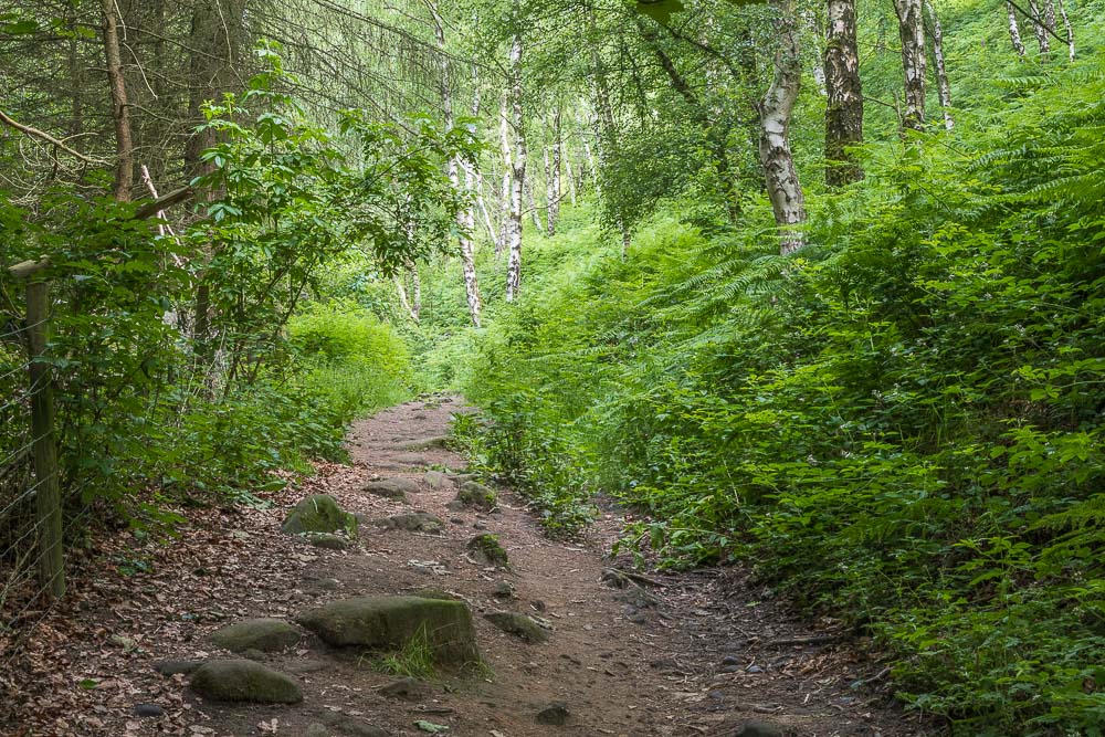
The walk starts below Birchen Edge, walking through the trees until we find the spot where the path takes a rocky route onto the top of the edge.
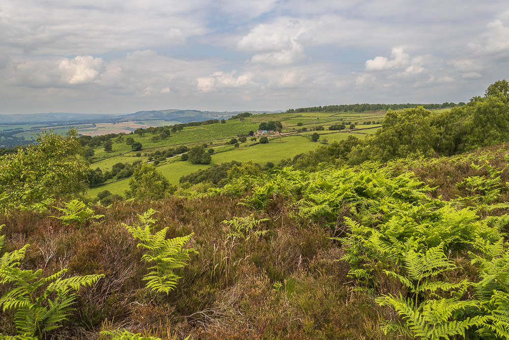
Once we are on Birchen Edge we can look across Gardom's Edge to Longstone Edge and moor.
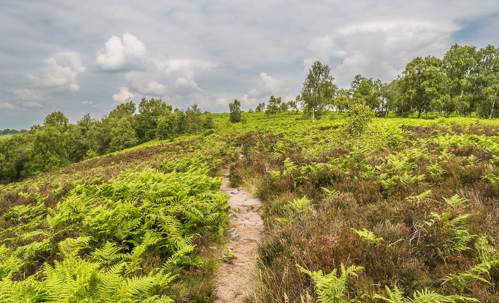
The first thing we notice is how much the ferns have grown over the last couple of weeks. The second is how hot and muggy it is walking through them.
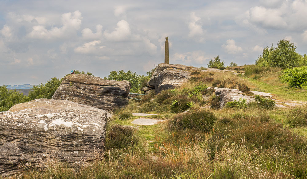
As we got close to Nelson's Monument the rocks around it had a group of climbers on them but by the time we got closer they had just about disappeared.
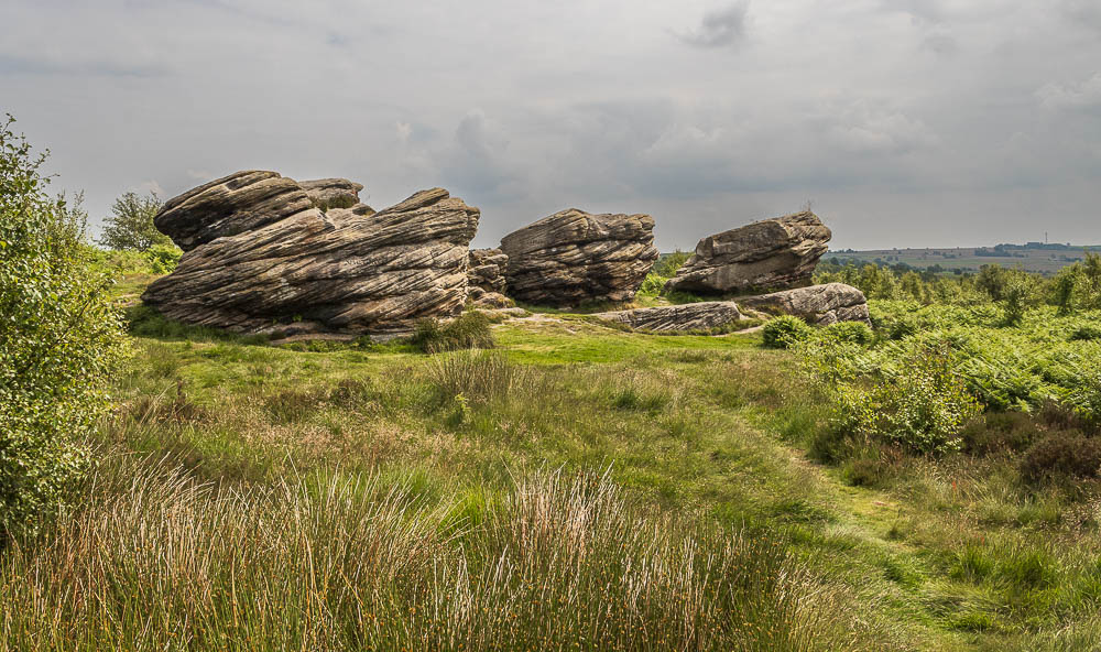
The rocks known as the Three Ships, opposite Nelson's Monument.
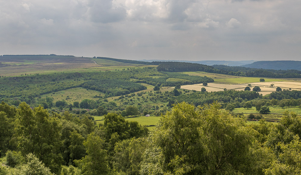
Looking across to Gibbet Moor from Nelson's Monument.
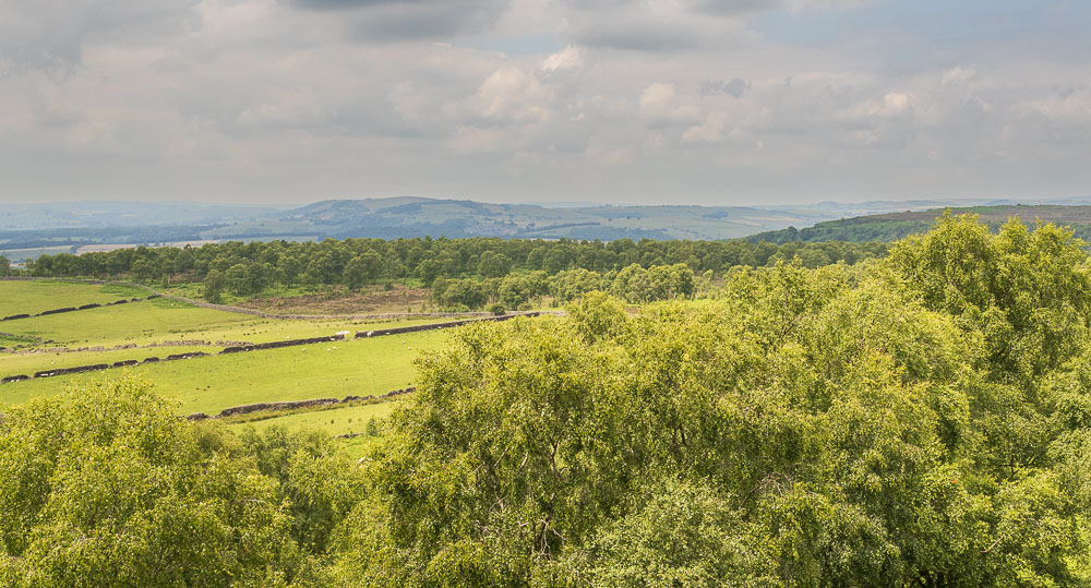
Looking around I'm beginning to wonder if I will ever get to do a walk this summer where the views aren't hazy.

Having reached the trig on Birchen Edge we decide to follow the path going along the edge rather than drop down to the fields using the gully immediately in front of the trig.

The path is one we have never used before but it follows the edge towards Clodhall Lane.
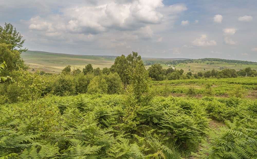
The path eventually drops onto the fields below Birchen Edge, but it is a very gradual descent compared to using the gully by the trig.
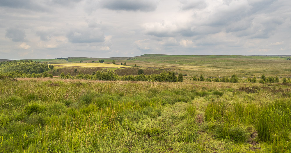
The path takes us to the same gate we usually use at the crossroads of Clodhall Lane and Sheffield Road. With the ground now nice and dry it was easy to negotiate, but in winter it would involve a lot of bog-hopping, whereas using our more normal route many of the boggy sections have wood across them making it much easier to cross when wet.
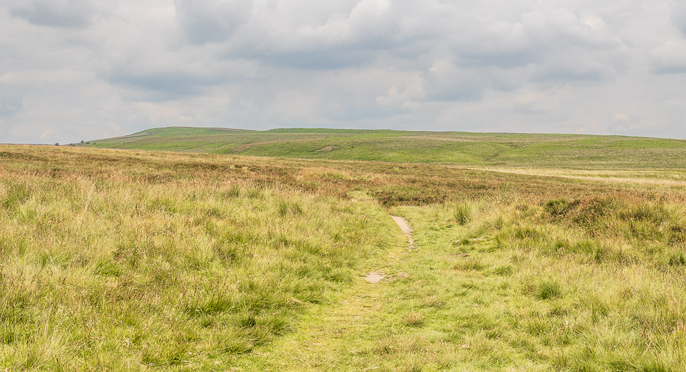
Rather than head along Jack's Flat we take the gate on the opposite side of the road to follow the path across Swine Sty to the corner of the wall at the start of White Edge.
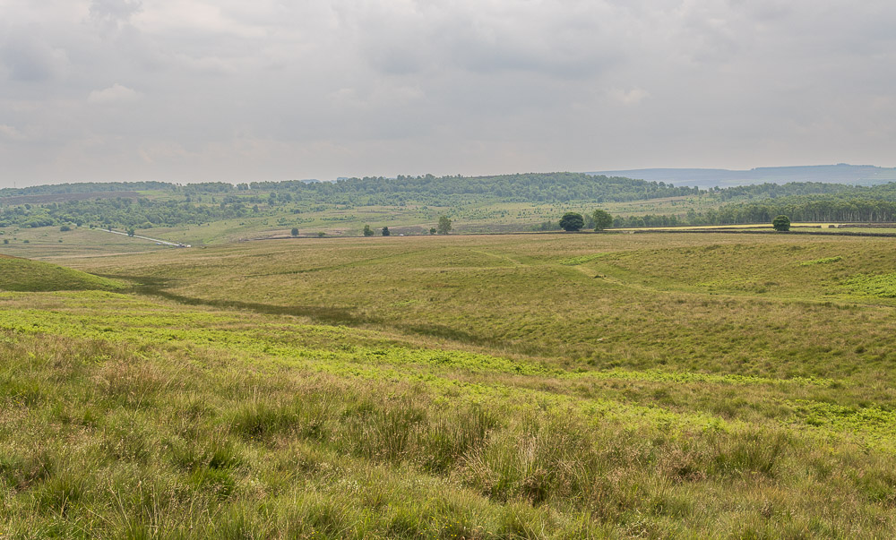
Looking back at the path we took across to Swine Sty. A sign on the gate had warned us there were adders about but we didn't see any.
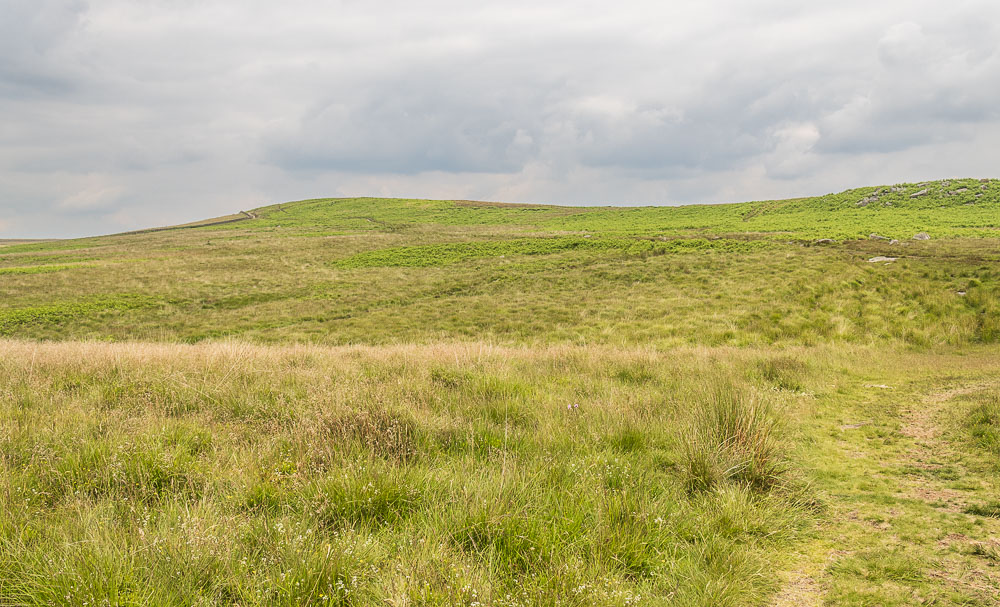
Heading across Swine Sty we were sheltered from the breeze and it felt incredibly warm, but there again it was the warmest day of the year so far.
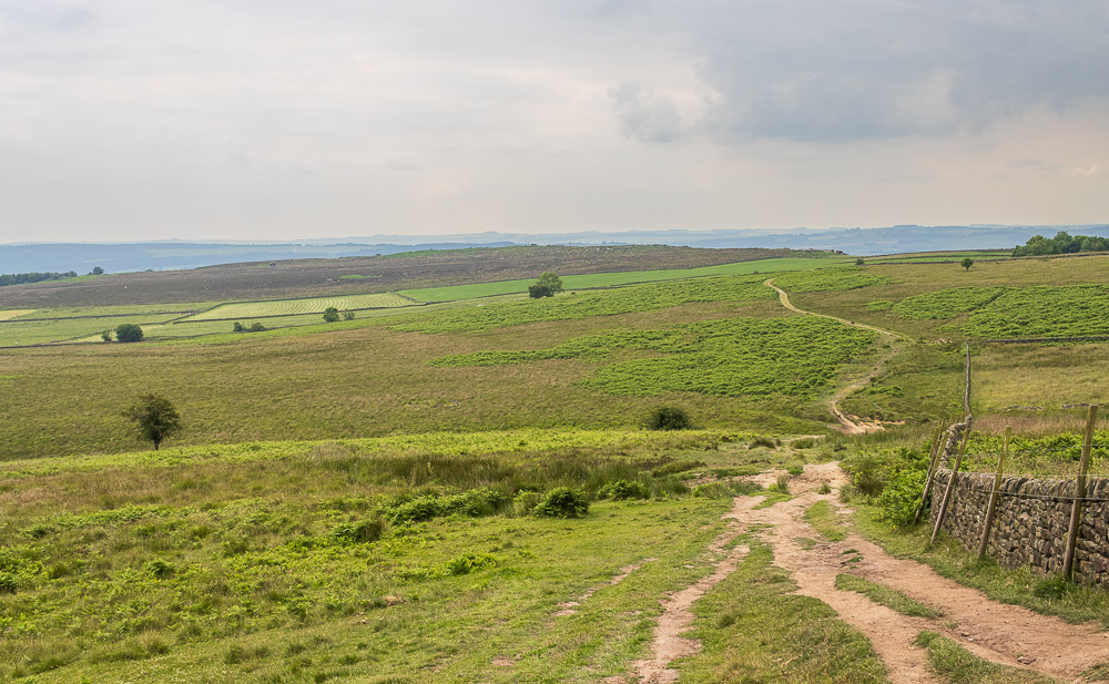
This seems a very familiar view, didn't I take a similar shot a few weeks ago. We don't continue onto White Edge, instead we head downhill and debate whether we are having lunch in the car park under the trees or on Baslow Edge.
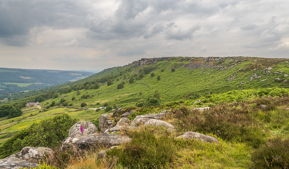
We opt for lunch on Baslow Edge so start to look out for a good spot.
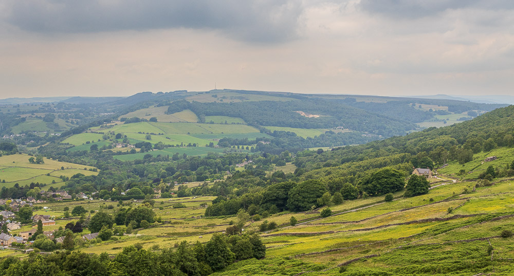
Looking across to Eyam Moor from the viewpoint on Baslow Edge.
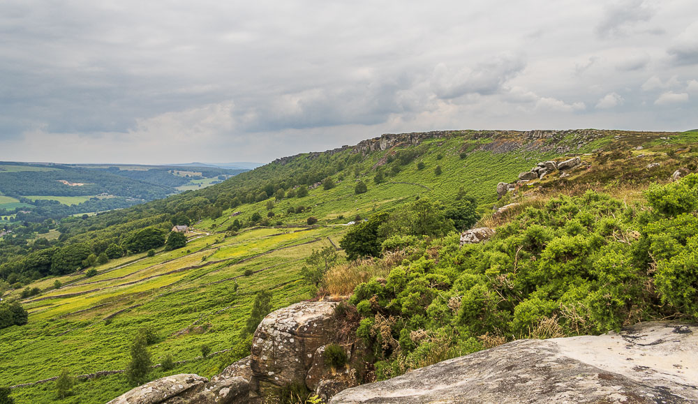
We move away from the viewpoint and find a spot further along Baslow Edge, which gives us a slightly better view along the Derwent Valley.
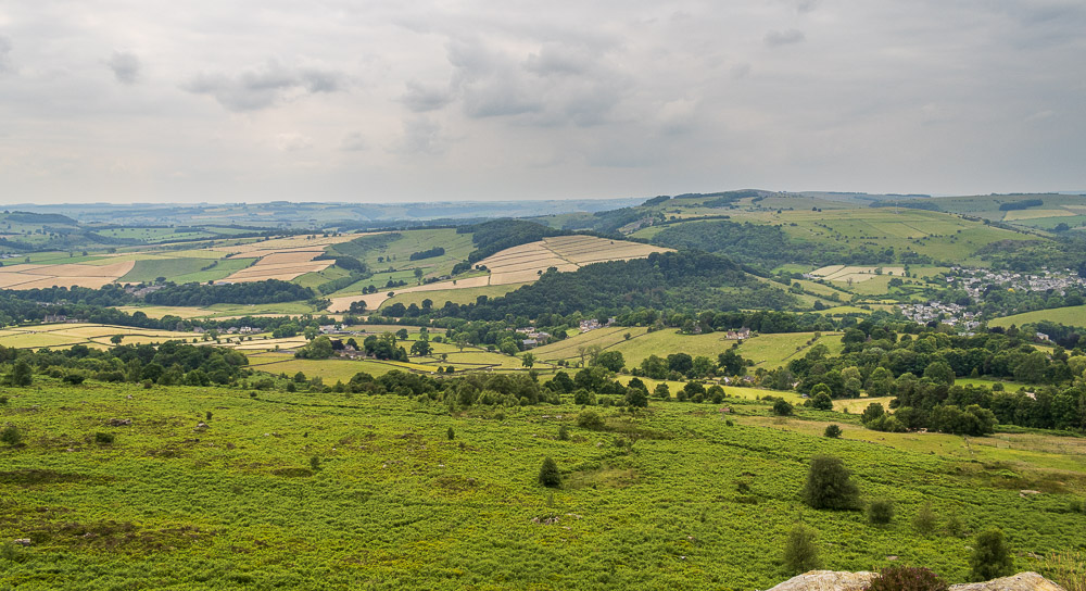
We sat having lunch looking out across the fields to Longstone Edge and a distant Aleck Low.
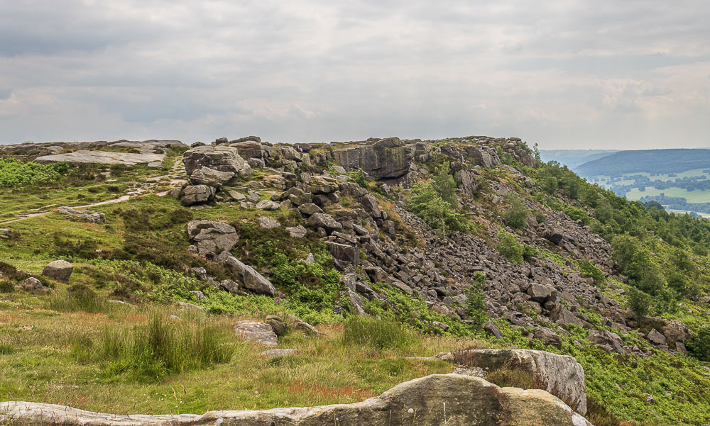
Baslow Edge from our lunchspot.
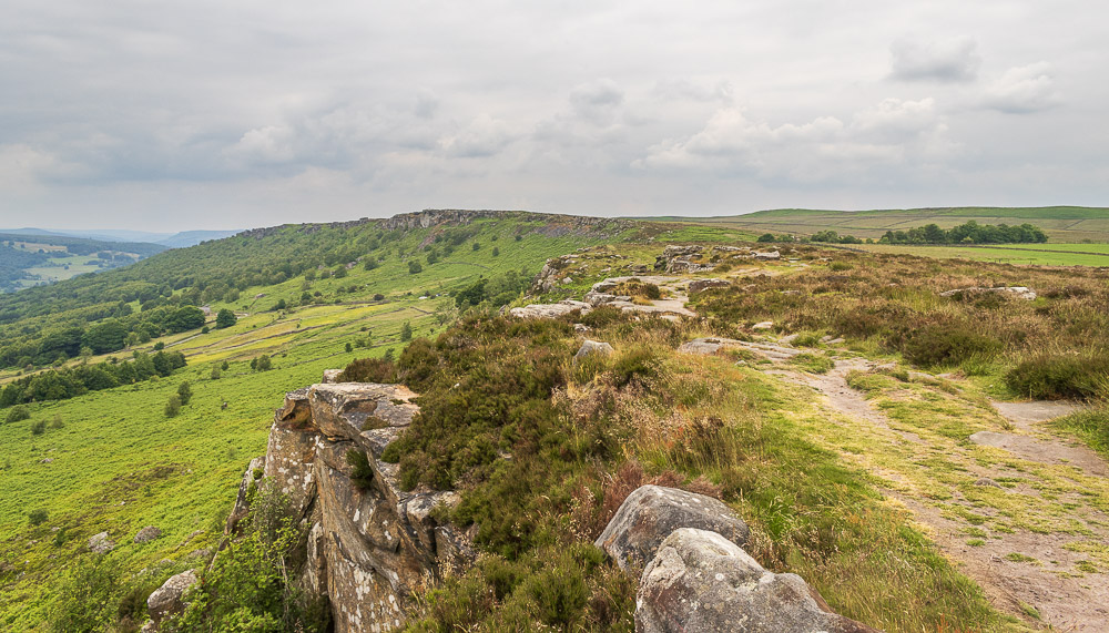
Rather than return to the wide path next to the wall we opt to stay close to the edge after lunch so we can enjoy the view looking back along Baslow Edge and Curbar Edge.
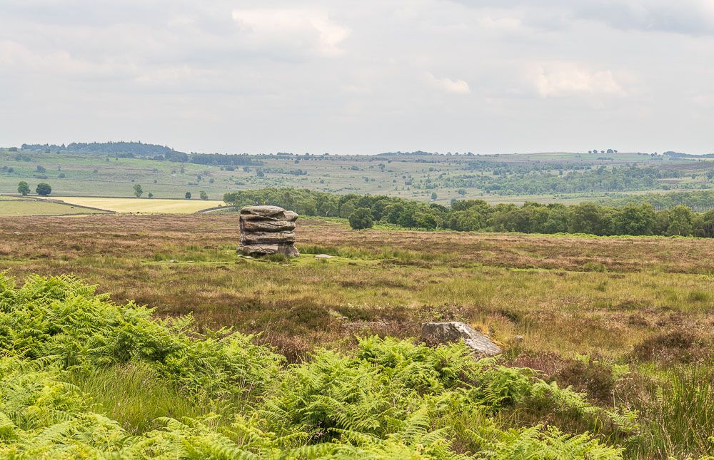
The Eaglestone soon looms large, so we know the end of the edge is near.
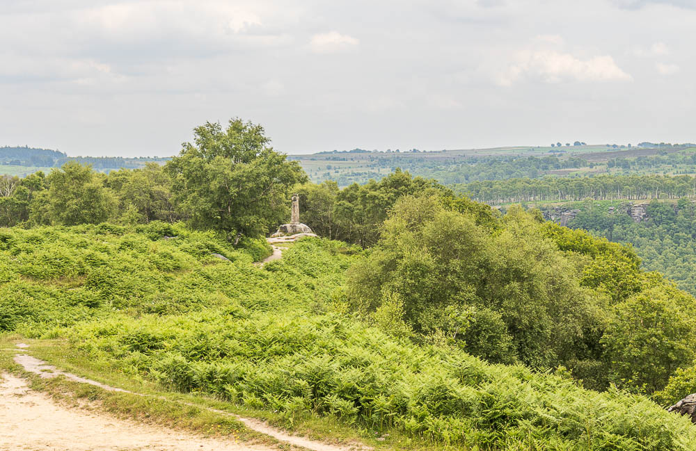
Wellington's Monument at the end of Baslow Edge tells us it is time to start heading downhill.
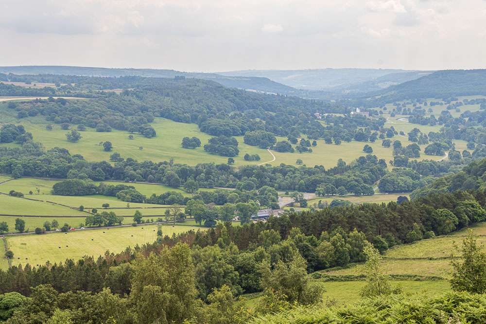
Looking down on Chatsworth, before we head downhill, we can see the route we follow uphill back to the car.
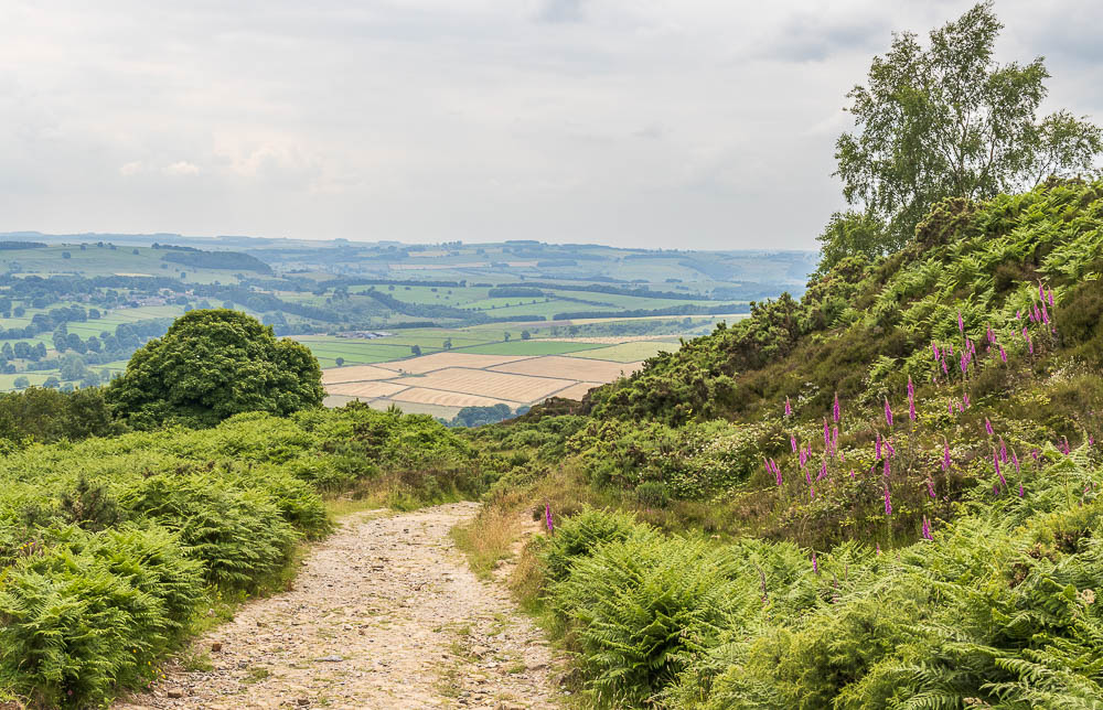
Heading down Bar Road we soon notice how much warmer it has got as we sat having lunch. In the shelter of the trees, without the breeze, it was very humid.
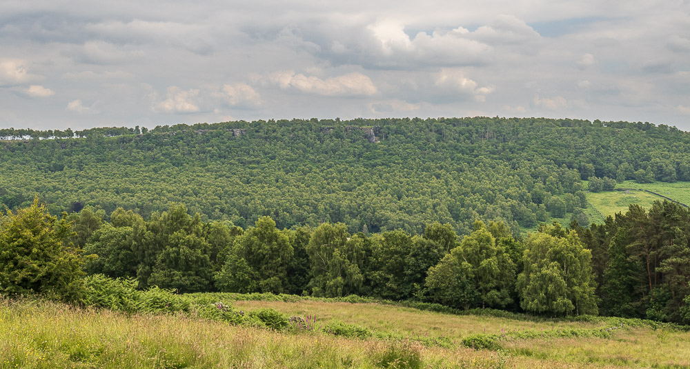
Looking across to Gardom's Edge from a break in the trees as we descend Bar Road.

Despite the heat it was very pleasant heading down Bar Road.
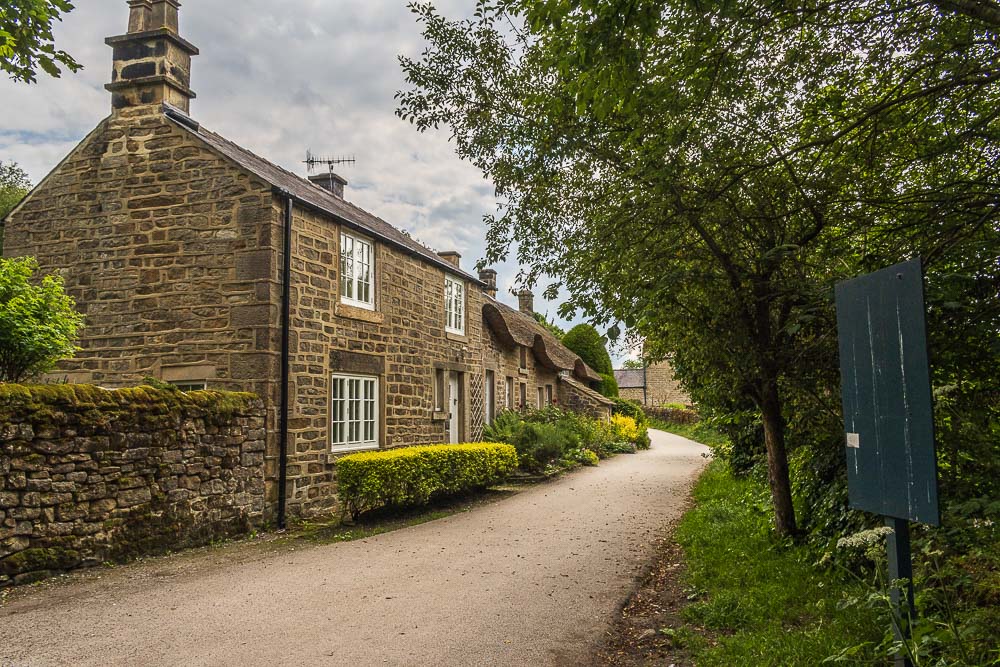
When we got into Baslow we decided to treat ourselves to an ice-cream from the shop close to the village green. Before we headed into Chatsworth Park the obligatory shot of the thatched cottage. The hedges have been cut back quite a bit since I was last here, although that was later in the year so they had a good excuse for them being much bigger.

Following the track across the park to the new gate we spotted some antlers in the grass where the deer were taking advantage of the shade under the tree.
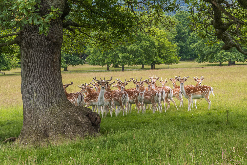
We had no intention of disturbing them, but they didn't know that. They didn't move far and once we had passed through the gate they clearly deemed it safe to return to their spot as we watched them head back to the tree as we headed uphill.
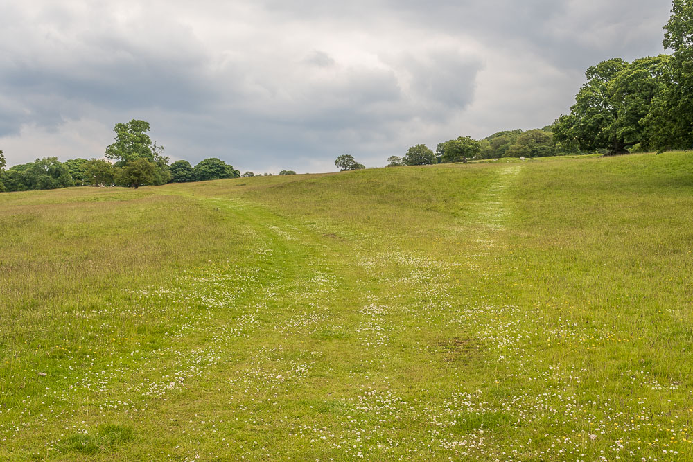
Following the clear tracks we took the lower track as the higher one went onto the route from Dobbs Edge. Both would have taken us to the same place to cross the stream, but the lower one was more direct and in this heat preferable to the higher route.
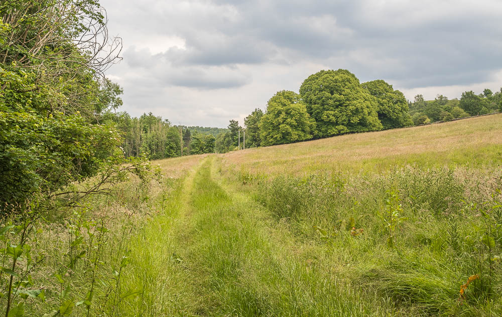
The broad track takes us passed Saw Mill towards the Robin Hood pub.
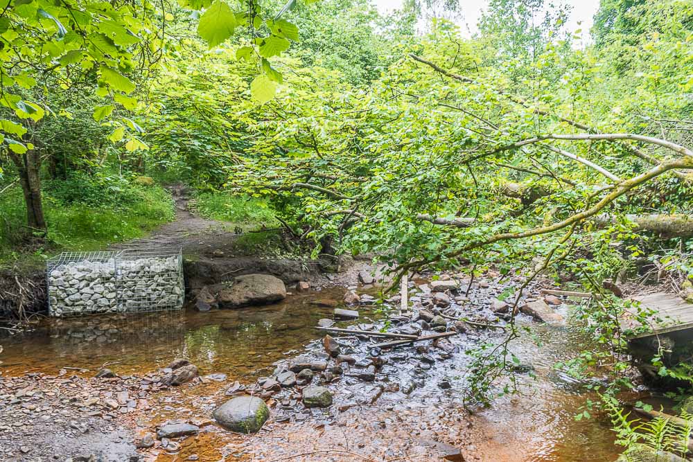
One surprise at the end of the walk was that the bridge across Heathy Lea Brook has been destroyed. It looks like it is in the process of being replaced and we managed to cross quite easily as someone has put some wooden planks down to help you cross the rocks. If you can't cross it you can always extend the walk by continuing alongside the brook until you get to the edge of Gibbet Moor, where there is a gate onto the road. The other surprise was the Robin Hood was shut as they are having issues with their water pressure, so The Wheatsheaf in Baslow had our money for the second time this month.
All pictures copyright © Peak Walker 2006-2024